jayin92/Skyfall-GS
Satellite photos to explorable 3D cities, no LiDAR required
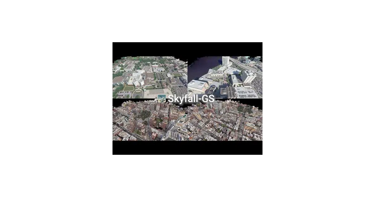
Skyfall-GS turns overhead satellite imagery into real-time, walkable urban gaussian splats by fusing coarse geometry with diffusion-generated detail.
Not currently ranked — collecting fresh signals.
star history
What it does
Skyfall-GS builds explorable 3D city scenes from plain satellite imagery using 3D Gaussian Splatting. It sidesteps the usual requirement for expensive ground-level 3D scans or LiDAR by treating overhead photos as a starting scaffold, then hallucinating and refining street-level detail through an iterative training loop. The output is a real-time-renderable gaussian scene you can fly through.
The interesting bit
The project avoids the “no training data” trap with a curriculum-style refinement strategy it calls Iterative Dataset Update (IDU): the model renders views, critiques its own output, and feeds those synthetic angles back into training alongside the original satellite shots. A diffusion model fills in texture where satellites can’t see. It’s essentially bootstrapping a ground-truth dataset from thin air.
Key highlights
- Two-stage pipeline: reconstruction from satellite imagery, then synthesis and refinement via IDU
- Supports custom datasets from COLMAP or satellite-derived SfM (via the companion SatelliteSfM repo)
- Pre-built datasets and fused PLY models for Jacksonville and New York City on Hugging Face
- Evaluation suite computes PSNR, SSIM, LPIPS, CLIP-FID, and CMMD against baselines like Mip-Splatting, Sat-NeRF, and CityDreamer
- Includes scripts for automated training, video rendering from camera paths, and an online PLY viewer
Caveats
- README warns against using raw training-output
.plyfiles directly; you must fuse them first withcreate_fused_ply.pyfor visualization - Custom dataset preprocessing requires external tooling (SatelliteSfM) and careful directory structure
- Stage 2 training is parameter-heavy: the example command lists ~20 flags, suggesting significant tuning surface area
Verdict
Worth a look if you’re working on geospatial visualization, urban digital twins, or any domain where ground-level 3D capture is impractical. Skip it if you already have dense LiDAR or photogrammetry captures — this project’s whole pitch is doing without them.
Frequently asked
- What is jayin92/Skyfall-GS?
- Skyfall-GS turns overhead satellite imagery into real-time, walkable urban gaussian splats by fusing coarse geometry with diffusion-generated detail.
- Is Skyfall-GS open source?
- Yes — jayin92/Skyfall-GS is open source, released under the Apache-2.0 license.
- What language is Skyfall-GS written in?
- jayin92/Skyfall-GS is primarily written in Python.
- How popular is Skyfall-GS?
- jayin92/Skyfall-GS has 1k stars on GitHub.
- Where can I find Skyfall-GS?
- jayin92/Skyfall-GS is on GitHub at https://github.com/jayin92/Skyfall-GS.